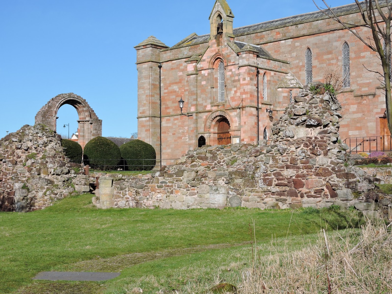
Thursday, 30 May 2019

The Enchanted Isles

The road to Tarbert

For some time a trip to the Shiants  has seemed like good way to enhance our annual pilgrimage to the Outer Hebrides. but we never quite got round to it. This time we did.
A car drive down to Tarbert in Harris and then aboard the twin-hulled motor cruiser and off we went, bound for these elusive islands that seem to change shape according to the weather conditions.

www.isleofharrisseatours.co.uk


The Shiants, Na h-Eileanan Seunta, lie off the east coast of Harris.The name translates as "holy", "enchanted" or "charmed".

 They comprise of three islands, Eilean an Taighe ( The Island of the House), Garbh Eilean ( Rough Island), Eilean Mhuire ( the Island of the Virgin Mary) and a line of rocky islets, the Galtachans, with equally evocative names Galta Beag, Bodach (old man), Stacan Laidir, Galta Mòr, Sgeir Mhic a' Ghobha and Damhag (bullock)


Approaching the Shiants


The Galtachans 


Eilean Muirhe


Once owned by Compton Mackenzie, though he never stayed there, they have been occupied since at least the Iron Age and supported five families in the eighteenth century.

Old "tigh dubh" or black house in ruins on Garbh Eilean


Uninhabited for many years, they had become over-run with black rats, probably from a shipwreck.
A successful programme of eradication removed the invaders and allowed the seabird colonies, particularly the puffins with their nesting burrows, to flourish. It is hoped the shearwaters and petrels will also return. The re-introduced white-tailed sea eagles are ruling the skies. We saw five in the course of the trip. Watching a raven harassing a circling eagle, we later discovered the reason when we noted a pair of them guarding their nest in the rocky outcrops on Garbh Eilean.


Sailing round to the eastern side, we passed rafts of guillemots. razorbills and puffins as well as shags, cormorants and eider duck.


 Porpoises and seals investigated our boat and bonxies, great skuas, wheeled overhead chasing the kittiwakes for their catch.


The landing was a bit tricky as we scrambled ashore from an inflatable on to the shingly isthmus between Eilean an Taighe and Garbh Eilean then clambered up the rocky "path" from the shore.

There are no longer any sheep on the islands so the wild flowers flourish with lousewort, milkweed, tormentil and hebridean orchids between the rocky outcrops and yellow irises in the marshy spots along with the insectiverous butterwort.

Tormentil, Hebridean Orchid, Yellow Iris, Butterwort, Lousewort

The islands are geologically much younger than the rest of the Outer Hebrides and the dolerite columns of their cliffs, similar to those on Staffa and the Giants Causeway, provide nesting for tens of thousands of sea-birds.


The cliffs on Garbh Eilean are pierced by a spectacular arch. Toll a Rhoime though passing through it would be a hazardous business.


Approach to Toll a Roimh - No passage through !

On the way back to Tarbet , we passed the deserted coastal village Bhalamus.


 A settlement with no road to it. A reminder of a time when the sea was the easiest way to transport people and goods.  


Finally, under the arch of the bridge to Scalpay to tie up in Tarbert and have a wee dram of Tamnavulin to finish off the day.


Monday, 6 May 2019

Ne'er cast a cloot

The May Tree


Beltane, half way between the vernal equinox and the summer solstice, has come and gone.
Now sanitised into the May Bank Holiday, it was once the time when the cattle were led out to the summer pastures, passing between two fires in symbolic purification. Youngsters would leap over the fires in celebration of the start of the growing season, a time of fun and courting when maidens would wash their faces in the first dew and dream, that night, of their husband-to-be.
The may bush, the hawthorn, was central to the rituals, the flowers being used to decorate the doorways of houses.
This year, the may bushes have hardly started to blossom.


 Geans and Scrogs

The geans and the scrogs (bird cherry and crab apple for the Anglophones) are in bloom in the garden of the Priory ruins where the old symbols still manage to find a place in the imagery.
The Green Man

The Green Man peeps from the carvings and the hawthorn still holds pride of place.

The wind from the north has a touch of Arctic ice in its veils and the may flowers stay tightly closed except for a few on the sheltered south facing hedge.


The fleece jackets are still zipped up and the old adage holds true.
"Ne'er cast a cloot 'til the may is oot"
We will have to wait.

Monday, 29 April 2019

The worth of copper


The Whitadder

Spring is most definitely here. The arctic terns have returned from their sojourn in the Antarctic and the swallows are back from wintering in Africa. We think we are travellers!


It was time for the annual memorial walk for an old friend, six years gone. Her favourite walk was from the Whitadder river, across the suspension bridge, along the blackthorn-lined path to the accompaniment of chaffinch song, the piping of great tits and, if we are lucky, the cry of the yaffle, the green woodpecker, then up the steep slope to Edin's Hall Broch.

Blackthorn path


Edin's Hall broch

The broch is an archaeological oddity, situated far south of the broch-building areas of northern Scotland and, apparently, too big in area to have had very high walls.

It seems to date from the time between the two Roman occupations of Southern Scotland after 100 A.D. when Pax Romana meant that defence was less of a necessity. It sits within the remains of an earlier prehistoric fort and settlement.
There are copper mines on the banks of the Whitadder that were worked up until the eighteenth or even nineteenth centuries. A copper ingot was found within the broch so, in the Bronze and Iron Ages, the builders of the broch would have been rich from their local monopoly of a valuable commodity. Maybe the structure was the equivalent of the mansions of the nineteenth century coal-mine owners or the private jets to the estates of oil-barons, a display of wealth. 

Mine workings to be found in the banks of the river 


Tunnels for extracting the copper

Green coppery stone
A more demanding clamber was undertaken along the steep banks above the river to find the remains of the old workings then an easier walk back along the old pack-horse path finished off a great day's outing.

Wood anemones and dog violets above the mines

Gold is for the mistress - silver for the maid
Copper for the craftsman cunning at his trade
Good said the Baron sitting in his hall
But Iron -Cold Iron - is the master of them all
R. Kipling

Wednesday, 3 April 2019

Dumyat


Dumyat

Dumyat or Dunmyat Dùn Mhèad in Gaelic, is a grand wee hill. Just on the edge of the Ochils, above Stirling. It is a "Marilyn", being only 1370 ft or so high but in spite of its lack of height, the views are superb.

There are two tops, Dumyat and Castle Law, the latter being the site of an old Iron Age fort that gave its name to the whole hill. Dun Meaetae, the fort of the Meatae, a Brythonic tribe or federation of tribes living just beyond the Antonine Wall in Roman Britain who caused a lot of trouble for the invaders until they were eventually bought off.

The Castle Law fort is just discernible with piles of stones that must be the remains of the ramparts, heaped into cairns. 


I
n its prime, it must have been difficult to attack  with near vertical slopes on three sides and a deep natural cleft on the fourth.

Castle Law- the deep cleft can be seen on the right

The defensive cleft


Dumyat itself is topped by a memorial to the Argyll and Sutherland Highlanders, a seat depicting a black hole in the memory of the O.U. mathematician, Michael Simpson, a beacon and a trig point.

Memorial seat

The main reason for climbing Dumyat is the views.

Looking north there is a great sweep of mountains from Ben Lomond to Ben Lawers. Ben Venue, Ben Ledi, and Ben Vorlich with Stuc a' Chroin can all be seen and Ben More glimpsed in the background.


Looking south  you see the meandering course of the Forth and Stirling with the Wallace monument.


The view also takes in the Sheriffmuir, site of the battle between Jacobite and Hanoverian forces in the 1715 rising. The pro-government forces under John Campbell, Duke of Argyll held the Highland army under the Earl of Mar and stopped it linking up with Jacobite forces in the south thus effectively ending the '15 rebellion.

Sheriffmuir

An interesting wee hill is Dumyat

Sunday, 31 March 2019

The promise of sloes


The dew as diamondis did hing
Upon the tender twistis, and ying
Ouir-twinkling all the treis
And ay quair flowris flourischit faire
Thair suddainly I saw repaire
In swarmes, the sounding beis
Sum sweitly hes the hony socht *

The equinox has come and gone with the expected gales amounting to no more than a stiff breeze.
All the wind managed was to blow over the recycling bin and scatter its contents.  Could chase the empty plastic bottle down the street ever become the latest fitness fad ?
The weather, since day and night synchronised and we officially entered Spring, has been mild enough to tempt out the solitary bees and the hibernating butterflies; peacocks, red admirals and tortoiseshells have all been dancing in the sunlight.

 Chaffinch on Blackthorn

 The garden birds are in full song and the spring flowers are bursting forth.
Too much too soon?


Wood anemone and Butter-bur


The blackthorn bushes look like snow drifts with the white blossoms on the bare branches. A ready source of nectar for the hungry bees and the promise of a heavy crop of sloes for the gin infusers later in the year.


Red -tailed bee on Blackthorn
Beware!

The "blackthorn winter" can quickly follow when March must repay the "borrowed days" and rain, sleet and even snow can blight the blossoms and freeze the precocious, presumptive  flowering.
Maybe that's why sloes are such an erratic crop. Some years the bushes are laden, the next they have only the occasional berry.
Let's hope this year is one of plenty.

*The Cherrie and the Slae

Alexander Montgomery (c1545 - c1610)

Sunday, 10 March 2019

If you're in a hole keep digging


Present day Priory and medieval ruins

The results are back. Our dig in the Glebe field on the seaward side of the Priory unearthed a huge number of animal bones: cows, deer, sheep, pigs, even chickens. (Blog 26/06/18)  Now we have the C14 dating outcome and there is no doubt we were digging a site from the 7th to 9th centuries, the time of the Anglo-Saxons and St Aebba.


Local tradition has it that her monastery was on the top of the Kirk Hill, part of the massive St Abbs Head though digs there have never unearthed any archaeological evidence.   There was an Iron Age fort there, probably the seat of the local chief possibly Colud or one of his line.
 As I said at the meeting prior to the dig, if you want to convert people to new religion, you don't ask them to walk four miles then climb a steep hill!

Kirk Hill - no place for a monastery

Aebba may well have been received at the Kirk Hill fort on her arrival as would be befitting for a Northumbrian princess and sister of the most powerful king in the area but when it came to establishing her monastery it would have been between the streams that run down the two sides of the village and at the ancient pagan holy site framed by them.
The story that she was seeking sanctuary and avoiding a forced marriage is not likely to have much substance either. If she were escaping from the Northumbrian court, she would have had to have settled a lot further away from the border than she did.  There must have been some conflation with a period in her early life when she did indeed have to flee to Dal Riada in the north-west during the dynastic struggles that resulted in the creation of Northumbria from the previous smaller kingdoms.
She was a strong woman, the sister of two kings and would have acted as an ambassador rather than a refugee.
Aebba's foundation was almost certainly overlaid by the subsequent 12th and, later 14th century buildings.
We were  digging in the area beside the encompassing vallum, the perimeter dyke or ditch that separated the sacred from the profane, the religious from the lay communities.
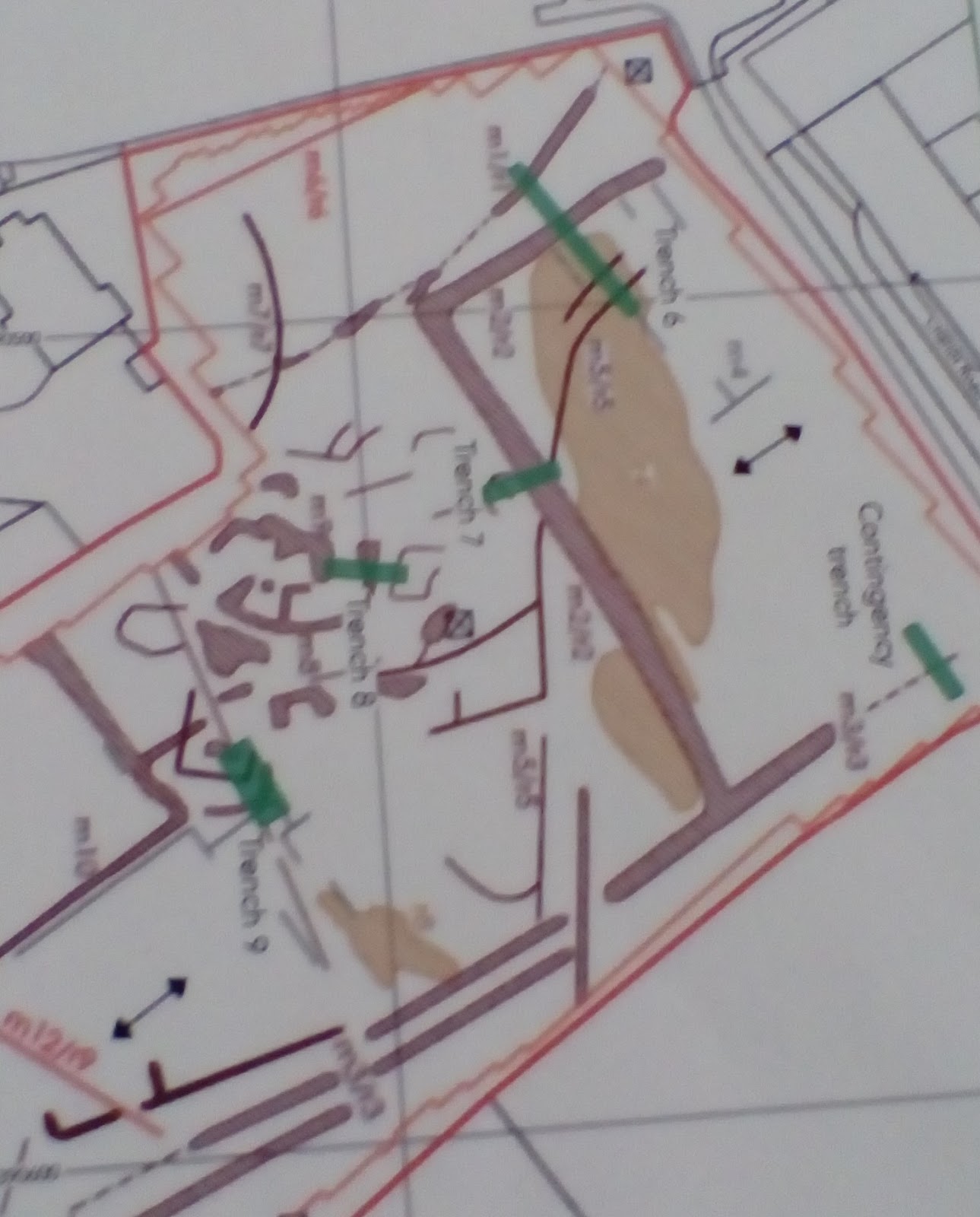
After geophysics scanning, four trenches were chosen by popular vote and we seem to have been lucky.
Trench Plan


 From the masses of bones in one trench, we seem to have hit the monastery abattoir and thus obtained good carbon dating material.
Hopefully funds can be found for other digs on the unexplored parts of the site.
We now have a vindication that our village is indeed the Urbs Coludi of Bede's Historia ecclesiastica gentis Anglorum - The Ecclesiastical History of the English People.

Coludsbyrig. Colud's burgh or town hence Coldingham in the Anglo-Saxon tongue.